


Village Roads and Border Stones — 5-Day Private Ha Giang Loop
A five-day private Ha Giang Loop on back roads: four nights in villages, the ridge tracks above Ma Pi Leng instead of the crowded pass, a Nho Que river boat trip, and border markers 476 and 485.
I. Tour introduction
VILLAGE ROADS AND BORDER STONES · 5 DAYS
PRIVATE TOUR · SON VI – SAM PUN
5 DAYS / 4 NIGHTS
Four nights in villages, two border markers
Everyone who rides Ha Giang rides Ma Pi Leng. We don't.
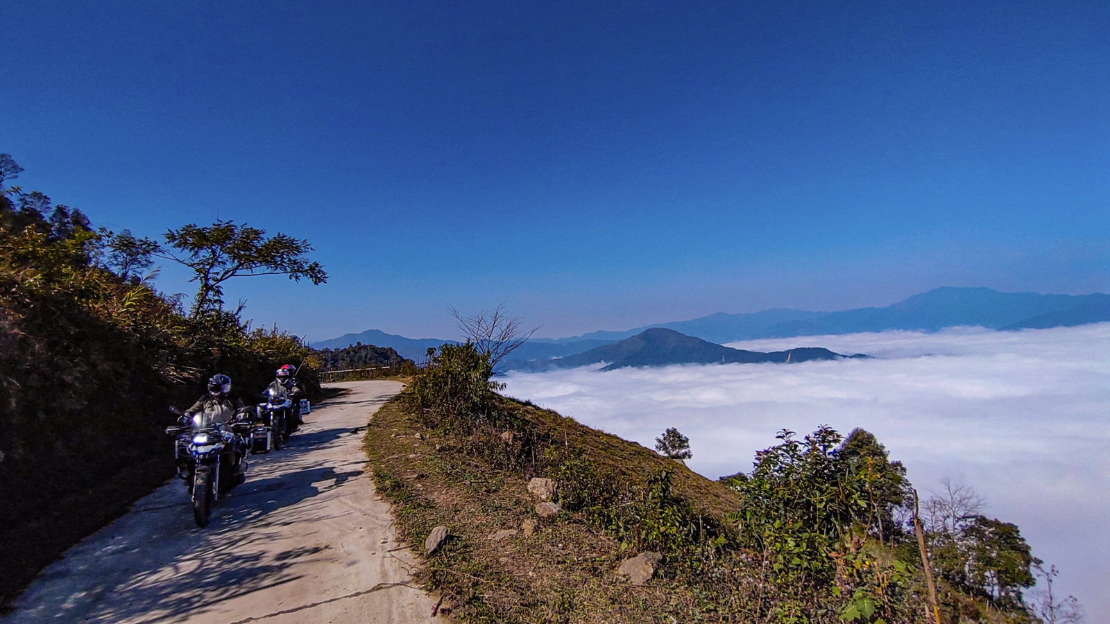
There is a web of small roads strung along the ridge above the pass. Take those, and the Nho Que river and the Tu San canyon lie open beneath you — the view riders on the pass never get, because they are lower down and on the wrong side. Meanwhile the queue of traffic below has nothing to do with you. Thirty years in this region is what it takes to find lines like that, and we don't say where they are.
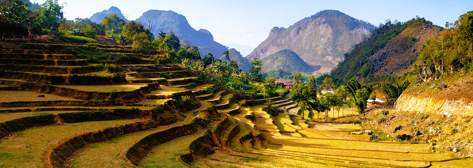
The first four days work north on village roads. A different hamlet each night, a different people each night: Dao on a mist-covered summit, H'Mong in a valley of stone, Tay in rammed-earth houses centuries old, Lo Lo at the foot of Dragon Mountain. One morning we leave the bikes and walk the last stretch into a hamlet of eighteen houses at nearly two thousand metres, sitting in a bowl of limestone inside five hundred hectares of old-growth forest the villagers call the sacred wood.
The last two days are the part other companies cannot sell. From Meo Vac we turn up onto the border belt to the Sam Pun crossing at 1,200 to 1,600 metres, where marker 476 is cut with the words VIET NAM, then on to Son Vi — the far north-eastern commune, home to seven different peoples, with marker 485 standing on the boundary itself. Night falls fast up there: by seven the border forest has gone completely dark, the patrol road empties, and all that is left are a few points of light in the mist.
The reason others don't sell it is specific. Foreign nationals entering the land border zone need a permit issued by provincial police, and anyone staying overnight must register with the commune police. We handle all of it — work we have been doing for years on the border patrol roads of Dien Bien.
And on the final day we don't retrace anything. The group swings south on a chain of commune roads, cuts across a corner of Cao Bang province, and follows the Gam river back to the city. Two hundred kilometres, and not one metre of the previous four days repeated.
All four nights are homestays without private rooms — but all four houses have power and hot water. Sleeping in a village here does not mean roughing it.
The detailed stage-by-stage route is in the roadbook you receive when you sign. We don't publish it, and under current regulations the route may not be changed unilaterally once contracted.
II. Tour highlights
- Start / finish: Ha Giang city
- Duration: 5 days, 4 nights
- Distance: approx. 635 km
- Format: private tour, never merged with another group
- Accommodation: 4 nights in village homestays, power and hot water
- Border markers: Lung Cu flag tower · marker 476 at Sam Pun · marker 485 at Son Vi
- Peoples met on the road: Dao, H'Mong, Tay, Lo Lo, and seven peoples in the last border commune
- Documents: passport valid 6 months; border-zone permit arranged by us
- Season: all year except July and August
- Riding level: not for first-time riders
III. Tour at a glance
| Tour code | |
|---|---|
| Duration | 5 days, 4 nights |
| Start | Ha Giang |
| Finish | Ha Giang |
| Bikes | Detech 130cc, Honda XR150cc or Honda XR200cc — ride it yourself, or sit behind one of our riders |
| Distance | About 635 km, and not one metre of it repeated |
| Difficulty | Demanding. Five days running on single-lane concrete, dirt track and the border patrol road. You should already have several days of mountain riding behind you. |
| Best season | September to June. We do not run this tour in July and August — the rain turns the dirt sections and the hillside traverses into something we will not put you on. |
| Group size | Private departure, a group of 5 to 6 guests |
| Where you sleep | Four nights in village homes. Every one of them has electricity and hot water, and takes a maximum of 12 guests. |
IV. Detailed itinerary
Day 1Green moss on thatch, then the western border road [≈ 140 km]
We head away from the karst plateau in the morning and climb to a Dao hamlet above a thousand metres: fifty-three houses, palm thatch furred with moss, ancient shan tuyet tea trees in the gardens. The track up is narrow and slick when the mist is in.
The afternoon runs the western border on concrete exactly one lane wide, through communes whose names you will not find in any Ha Giang Loop itinerary. The longest day for distance and the easiest technically — deliberately, so you and the bike get acquainted before the three days that follow.
Day 2A backward market, a town that stopped in 1979, a forge at dusk [≈ 95 km]
If the dates fall right we stop at one of the plateau's backward markets, which run on a six-day cycle so the market day slides back through the week. Traders from the valleys, not a market staged for visitors.
At midday we turn five kilometres off the main road into a town that was the busiest trading post in the region until 1979, when the administrative centre moved and the place stopped. Ochre rammed-earth walls, mossed roof tiles.
In the afternoon we climb to a H'Mong village on a karst slope; in the evening you sit beside the forge and watch silver being shaped.
Day 3A walk into the sacred wood, then up to the border [≈ 70 km]
In the morning we leave the bikes and walk the last stretch into a hamlet of eighteen houses at nearly two thousand metres, in a bowl of limestone ringed by five hundred hectares of old-growth forest. Two Vietnamese films have used this place as a location; it still has almost no tourism of its own.
In the afternoon we ride up to the Lo Lo village directly below Dragon Mountain. The shortest day of the trip, on purpose: rest, complete the overnight registration for the two border days, and sleep early.
Day 4Sunrise on the flag tower, then the ridge instead of the pass [≈ 130 km]
Up before the sun and onto the 839 steps, which climb in three flights — the last 140 a spiral staircase inside the tower itself. The flag measures 54 square metres, one for each of Vietnam's peoples, on a mast almost 34 m high at 1,468 m. The first pole here was a 12 m sa moc trunk raised by the border guard in 1978.
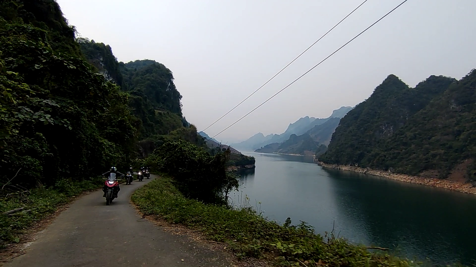
Then the centrepiece of the whole trip. Instead of joining the traffic on the Ma Pi Leng pass, we turn up onto the web of small roads along the ridge. The whole morning is spent high, with the Nho Que river and the Tu San canyon opening below — and nobody else. This is where we tell you about the seventeen men who hung on ropes for eleven months against the exact cliff you are looking down at, with ten coffins waiting in their hut.
In the afternoon we turn onto the border belt: the Sam Pun crossing at 1,200 to 1,600 m with marker 476, then on to Son Vi. This is road with no guarantees — mist and you see nothing, rain and it turns to mud. The support vehicle stays with us all day.
Day 5Down to the Nho Que, then home through a corner of Cao Bang [≈ 200 km]
An early departure from Son Vi and down to the boat landing — six kilometres of broken concrete, steep enough that anyone who would rather not ride it takes the support vehicle. Then upriver by boat into the Tu San canyon, walls of rock seven to eight hundred metres on both sides, about twenty minutes before the gorge opens ahead. After four days of grey stone and border markers, the jade colour of the river arrives at exactly the right moment.
Then, instead of turning back, the group swings south on a chain of commune roads, cuts across a corner of Cao Bang province and follows the Gam river home. Two hundred kilometres with almost no highway in it, and not one metre of the previous four days repeated.
Five days, about 635 km, four nights in villages, two border markers, and a stretch of country most Vietnamese have never seen either.
V. Tour prices
Motorbike – self-drive, 1 rider per bike
| Vehicle / type of participation | 2 | 3–4 | 5–6 | 7–+ |
|---|---|---|---|---|
| Honda 125cc (semi-automatic) | — | — | — | — |
| Detech 130cc (manual clutch) | — | — | — | — |
| Honda Winner 150cc | — | — | — | — |
| Honda XR/CRF 150cc (manual clutch) | — | — | — | — |
| Honda CRF 250cc (manual clutch) | — | — | — | — |
| Honda CB 500X (small adventure) | — | — | — | — |
Prices are in USD per person.
DEPOSIT AND CANCELLATION — summarised from our Cancellation Policy:
• A 50% deposit holds your dates (domestic tours of 5 days or more). The balance is due no later than 30 days before departure.
• Cancel 30 days or more before departure: 100% refunded. 15–29 days: 85%. 8–14 days: 60%. 4–7 days: 35%. 3 days or less, or no-show: 0%.
• If something comes up, you do not have to cancel. Everything you have paid is held for 365 days and can go towards any of our tours, or you can transfer your place to someone else free of charge, up to 7 days before departure.
This is a summary. Full terms, including how a refund is calculated and what happens in force majeure: https://hagiangexperts.com/cancellations/
Book this tour
Send your booking request in 4 easy steps – Ha Giang Experts replies within 24 hours.
Book now →Or call +84 345 900 800 · WhatsApp +84 979 900 800
Related products
-
Out of Stock
Reviews
There are no reviews yet.